How Google Maps knows when a business is packed
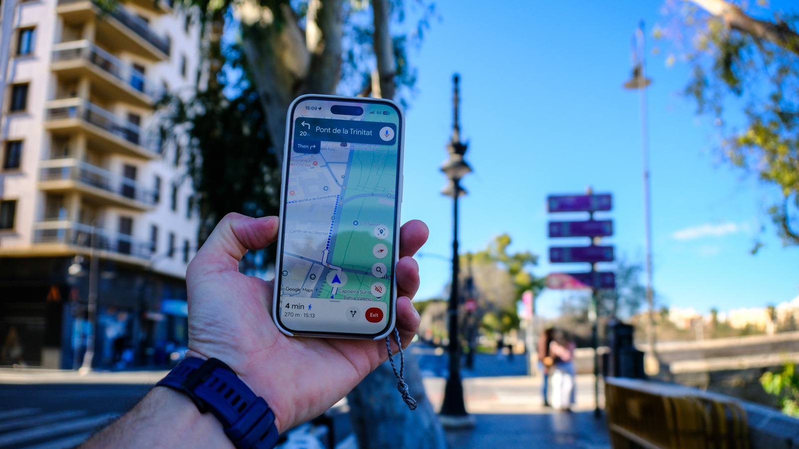
Google Maps can show users how busy a venue is and how long they might have to wait, a feature that draws on anonymous location data rather than direct reports from businesses. This matters because it lets users make quick, informed decisions, such as avoiding a packed breakfast spot when in a hurry or waiting for a bar to fill up if they want a livelier atmosphere, and it underpins similar traffic-prediction tools in Google's sister app, Waze.
The system works by aggregating anonymised data from users who have opted into Google Maps Timeline, measuring device density at a location and comparing it against typical footfall to gauge busyness. Historical visitor patterns from recent weeks are used to calculate popular times, average visit duration and expected wait times, while a "Busy area" feature extends this to entire zones such as festival sites or tourist districts by combining data from surrounding shops, restaurants and parks, excluding private residences. Google says the data never identifies individuals or reveals total visitor numbers, and the feature only appears where sufficient data exists, typically in high-traffic locations. Users can opt out at any time by disabling Google Timeline, which stops their data contributing to the system.
- Google Maps busyness data comes from anonymised Google Timeline location tracking.
- It compares current device density with historical footfall to predict wait times.
- Feature works best in high-traffic areas; users can opt out via Timeline settings.