Popular navigation apps unlikely to ditch Mercator maps despite UN resolution
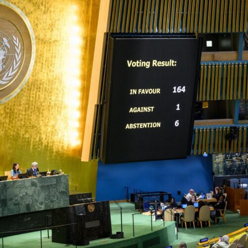
The UN General Assembly has passed a non-binding resolution encouraging the use of more accurate "equal-area" world maps, such as the Equal Earth projection, instead of the widely used Mercator map, which distorts the relative size of continents. However, the resolution is unlikely to affect the navigation apps millions of people use daily, since Google Maps and Apple Maps rely on Mercator-style projections for practical reasons rooted in the map's original 16th-century design for plotting sea routes, not for accurately depicting landmass sizes.
The African-led resolution passed on 4 September with 164 votes in favour and six abstentions; the United States was the only country to vote against it, calling it a "radical ideological project". The Mercator projection, created by Gerardus Mercator in 1569, enlarges landmasses further from the equator, making Greenland appear similar in size to Africa despite the latter being 14 times larger — a distortion some researchers say can carry geopolitical weight, as shown by a study linking the effect to public views on the idea of the US buying Greenland. The Equal Earth map, developed in 2018, corrects for size but distorts shapes instead, while research suggests maps like the Robinson projection help people judge relative sizes more accurately, reinforcing the resolution's push for better geographic education.
- UN passed non-binding resolution favouring accurate "equal-area" world maps
- Google Maps and Apple Maps will keep using Mercator-style projections
- Mercator distorts sizes, e.g. Africa looks similar to Greenland but is 14x larger