Technology news and discussion on TalkFuse.
Google Earth let me turn my hometown into a warzone with AI prompts, and the misinformation possibilities are disturbing
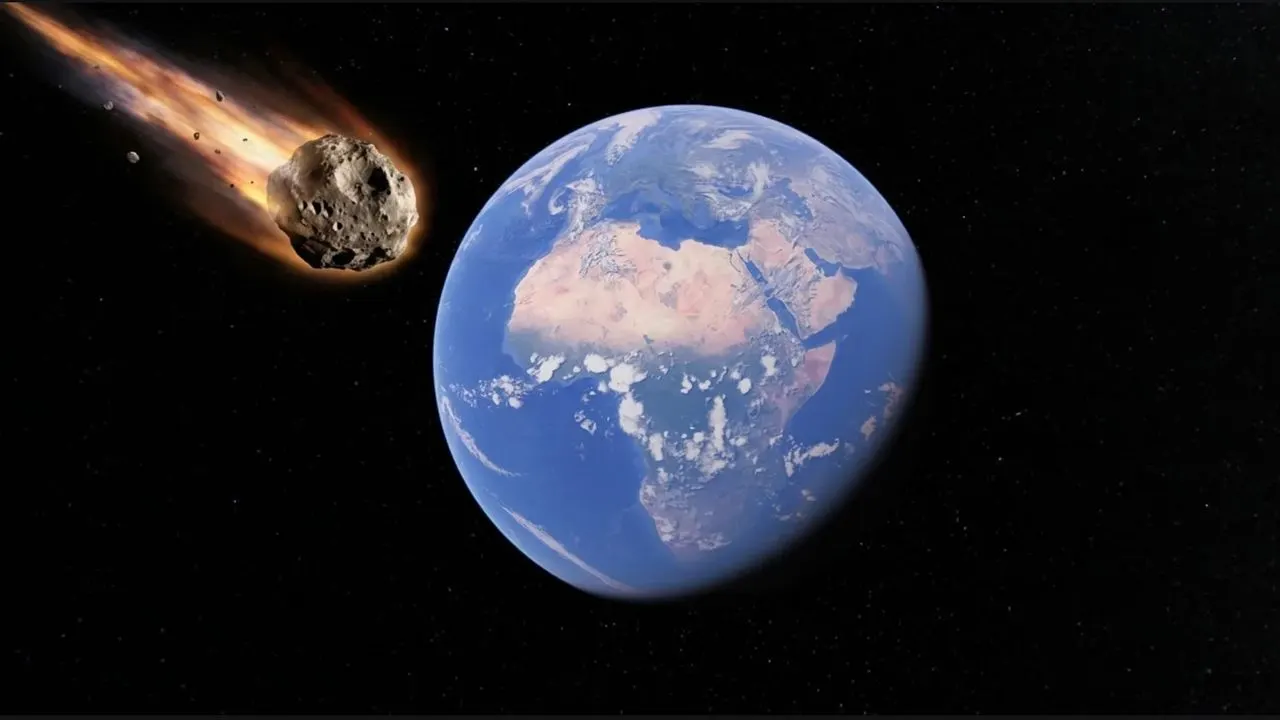
PC Gamer reports that Google Earth’s AI-driven image-generation tools can be prompted to depict a familiar real-world location as a conflict zone, raising concerns that convincing-looking altered imagery could be used to mislead people. The issue matters because satellite-style visuals can appear authoritative, making fabricated scenes of damage, violence or disaster particularly potent for misinformation.
The article’s central example involves transforming the writer’s hometown into a supposed warzone through text prompts, rather than documenting a real event. It argues that this capability highlights the need for clear labelling, safeguards and public scepticism around AI-generated geographic imagery, especially when images circulate without their original context.
In short
- AI prompts can fabricate convincing conflict imagery of real places.
- Satellite-style fakes may be especially persuasive misinformation.
- Clear labelling and scepticism are crucial.
Steelman: both sides, in good faith
The strongest fair case each way — we don't pick a winner.
The case for
AI tools that can transform familiar places into convincing conflict scenes may make it easier to fabricate evidence of events that never happened. Because satellite-style images can seem authoritative and may spread without context, advocates of stronger safeguards argue for clear labelling and measures that reduce the risk of deception.
The case against
The ability to imaginatively alter a map or image can also support creative expression, education and exploration, and the example described is a prompted depiction rather than evidence of an actual event. A thoughtful response could favour transparency and public media literacy while cautioning that broad restrictions may limit legitimate uses without preventing misleading images from being made or shared elsewhere.
Explained simply
Google Earth is a mapping service that lets people explore places around the world through satellite and street-level images. New AI tools can alter or generate scenes in response to written prompts, so a user can make a familiar location look as though it has been damaged by conflict, even when no such event has taken place.
Satellite-style images can seem like direct evidence because they show recognisable places from above. If an altered image is shared without a clear label or its original context, people may mistake it for a record of real events; this raises questions about how such images should be labelled and checked.
AI Art Call of Duty Culture Entertainment Gaming Technology