Thermal drones locate smouldering hotspots beneath the Cairngorms after wildfire
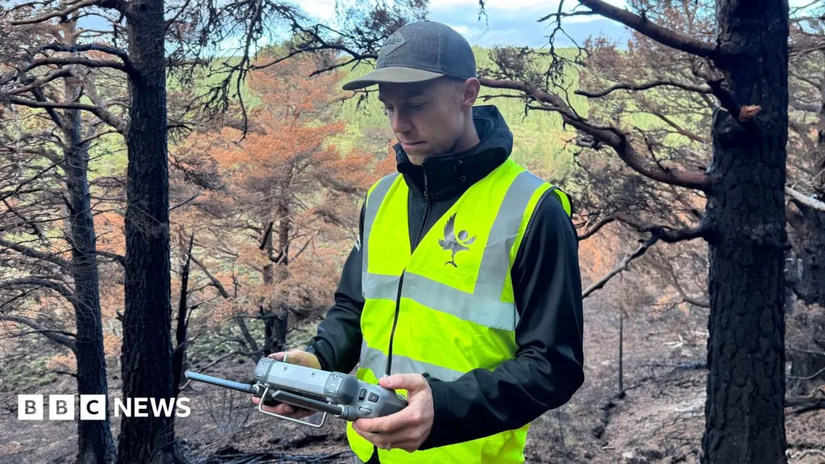
Thermal drones are helping locate fires still smouldering underground in the Cairngorms, nearly three months after a major wildfire. Finding these hidden hotspots matters because they could reignite, and precise locations help land managers direct limited teams to extinguish them.
The July fire burned about 3,300 hectares (33 sq km), according to the Cairngorms National Park Authority. Drone pilot Pete Short has sometimes found several hotspots on a single flight; teams dig them out and douse them with water. Drones are also being programmed to repeat the same flight paths over time, giving conservationists a way to track the landscape’s recovery, whose full ecological effects may take years or decades to understand.
- Drones are finding underground hotspots months after the Cairngorms wildfire.
- The July fire burned about 3,300 hectares.
- Repeat drone surveys will help track the landscape’s recovery.
New here? Start with this
The Cairngorms, in the Scottish Highlands, experienced a major wildfire in July that burned about 3,300 hectares. Months later, fires continue to smoulder underground in soil and peat, burning where they cannot be seen from above.
Thermal imaging drones locate these hidden fires, allowing teams to dig them out and extinguish them before they can reignite into larger blazes. Finding these hotspots quickly helps direct limited resources to the most critical areas.
The Cairngorms National Park Authority is coordinating the operation. The drones are also being used to monitor how the landscape recovers over time, though scientists expect the full ecological impacts of the fire to take years or decades to become apparent.
Art Culture Science Technology
Read the full article at the source →
Originally published by BBC Technology as “How drones are hunting fires hidden beneath the Cairngorms”.