GNSS uses multiple satellite networks, while GPS refers to one system
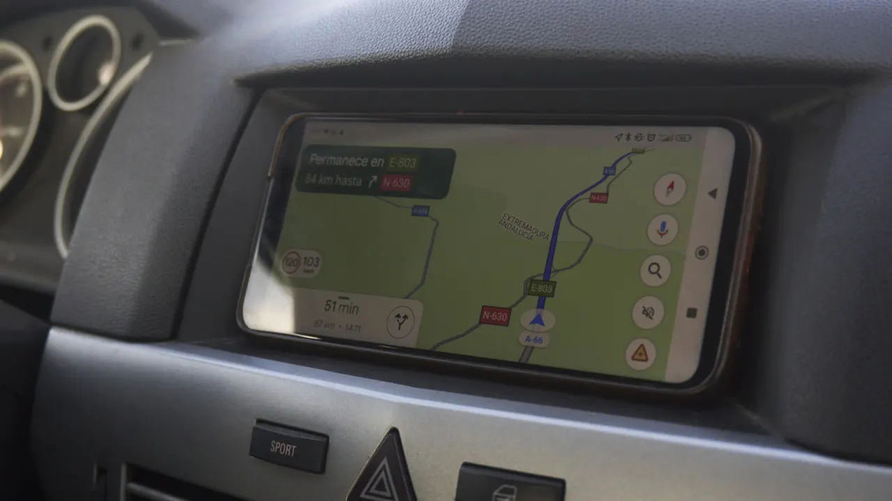
GPS is one satellite navigation system, while GNSS is the broader term for all such systems. The distinction matters because most modern phones can use signals from several satellite networks, helping them locate users more reliably than GPS alone.
Besides the US-operated GPS, major systems include Russia’s GLONASS, the EU’s Galileo, India’s NavIC and China’s BeiDou; Japan’s QZSS supplements services regionally. Phones also combine satellite signals with Wi-Fi, mobile networks and motion sensors, which can refine locations when buildings, trees or terrain weaken satellite reception. This helps explain why mapping apps can locate someone indoors, though a device may take a moment to update its position outside.
In short
- GPS is one part of the wider GNSS category.
- Modern phones can use several satellite systems.
- Wi-Fi, mobile networks and sensors also refine location.
Explained simply
Satellite navigation systems use signals from orbiting satellites to help devices work out where they are. GPS is the United States’ system; GNSS is the general term for satellite navigation, including systems run by Russia, the European Union, India and China, as well as Japan’s regional service.
Many modern phones can use signals from more than one system. They also draw on Wi-Fi, mobile networks and motion sensors to estimate location, which can help when buildings, trees or hills obstruct satellite signals.
Read the full article at the source →
Originally published by Engadget as “GNSS Vs GPS: What’s the difference?”.