World news and discussion on TalkFuse.
As the Ordnance Survey celebrates its 225th birthday, how it transformed the way Britain is mapped
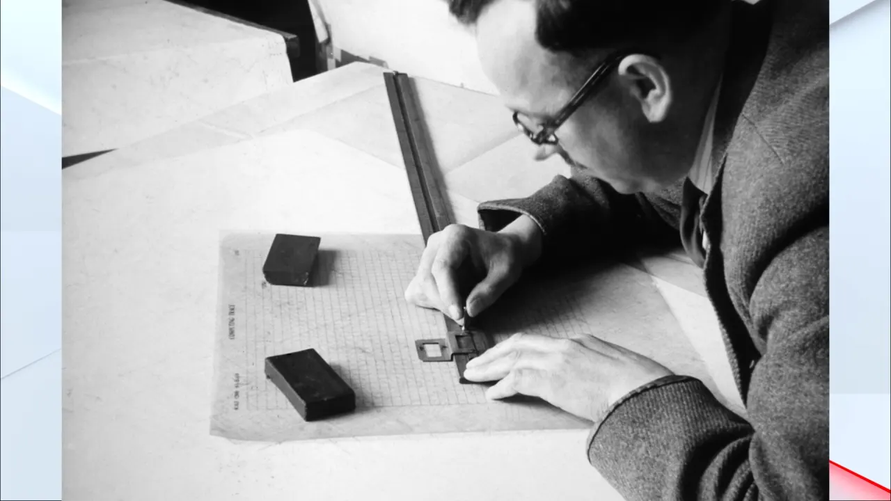
Ordnance Survey (OS) is marking 225 years since completing its first county map, of Kent, in 1801. Created amid fears of a French invasion, the survey began as a military effort to map vulnerable parts of Britain’s south coast and has since grown into a national mapping organisation whose data supports communities, businesses and emergency services.
The original surveyors used measuring chains and precision instruments, and even spiderwebs as telescope crosshairs, to map difficult terrain. Mapping that took ten years can now take about ten days, using aerial surveys, drones and digital tools; robots can work in dangerous places. OS is also exploring how artificial intelligence can help address challenges such as flooding and wildfires and support industries including farming.
In short
- OS began as a coastal defence project amid invasion fears.
- Mapping Kent took ten years in 1801; it can now take around ten days.
- Drones, robots and AI are extending modern mapping work.