Entertainment news and discussion on TalkFuse.
12Members
8Posts
1Active now
50,590Stories
WW3 horror map shows 10 most dangerous places to live in UK on ‘doomsday’
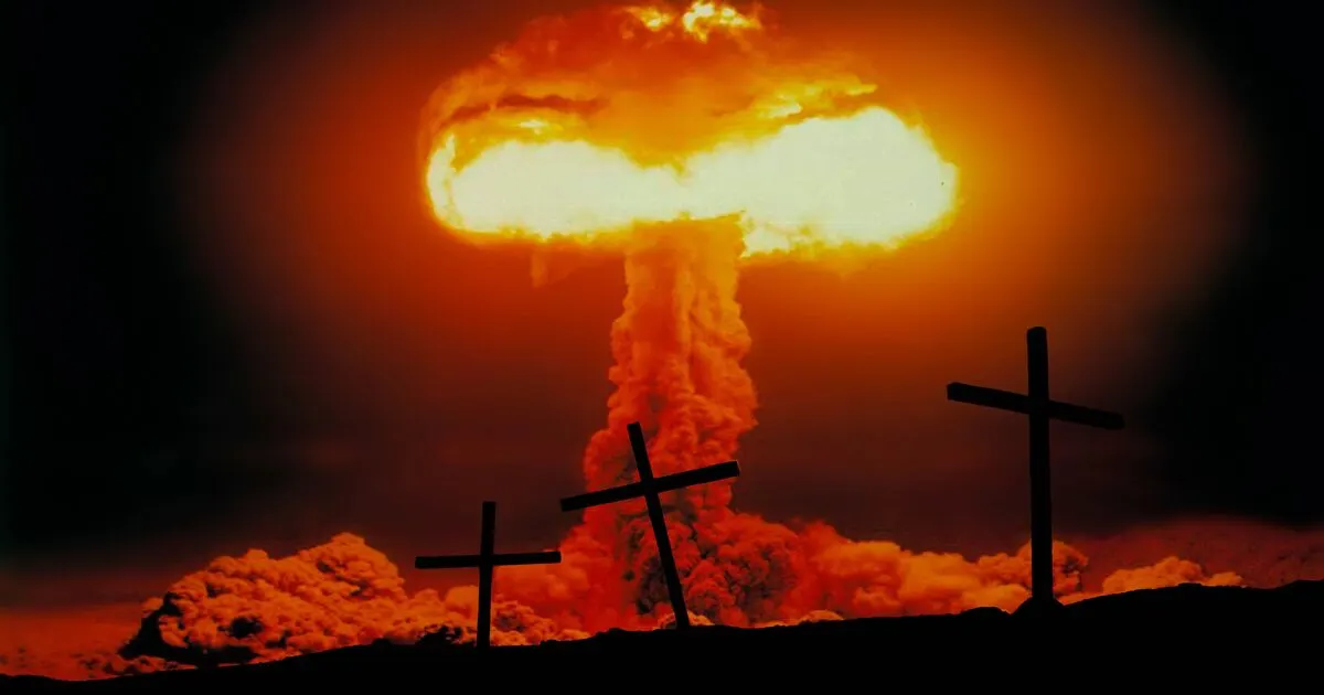
A postcode tool assesses how exposed UK council areas might be in a hypothetical world war, drawing on public maps and data. Its creator says it is a thought experiment, but the rankings highlight how military and government sites could affect local risk.
The tool considers roughly a dozen factors, including distance to strategic targets, terrain, weather and a home’s energy performance data. Its highest-risk areas include Gosport, near Portsmouth’s naval base; Cheltenham, home to GCHQ; several London boroughs close to Whitehall; Rushmoor, which includes Aldershot Barracks; and Plymouth, home to HMNB Devonport. The article also says Anmer Hall is ranked the safest royal residence.
In short
- A postcode checker estimates hypothetical wartime exposure across UK council areas.
- Gosport tops the reported high-risk locations, near Portsmouth’s naval base.
- The tool weighs target proximity, terrain, weather and property data.