World news and discussion on TalkFuse.
Satellite data reveal hundreds of oil spills across the Gulf since war began
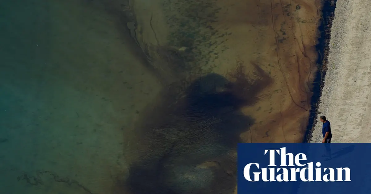
Satellite monitoring has identified hundreds of oil spills across the Gulf since the US war on Iran began on 28 February, as attacks on tankers turned the Strait of Hormuz into a battlefield. The pollution threatens lasting damage to fragile marine ecosystems and wildlife, adding pressure to waters already affected by shipping, oil extraction, coastal development and rising temperatures.
Greenpeace identified more than 500 spill instances and estimated their daily mapped footprints total about 20,000 square kilometres, nearly the size of Wales; the figure includes cases whose origins could not be confirmed. More than 133 tanker attacks have been reported since the conflict began, with October the worst month, including a strike that left a 35km slick off the UAE. A naval blockade has made on-the-ground assessment difficult, so researchers are piecing together the scale of the pollution using satellite images and expert testimony.
In short
- More than 500 oil spill instances have been detected since the war began.
- Mapped spill footprints total about 20,000 square kilometres.
- Experts warn of lasting harm to fragile Gulf ecosystems.
Americas Environment Middle East Science Space Technology World
Read the full article at the source →
Originally published by The Guardian as “Oil slicks seen from space: the devastating impact of boat strikes on fragile Gulf ecosystems”.