Google-backed satellites for wildfire detection launch as smoke chokes US, Canada
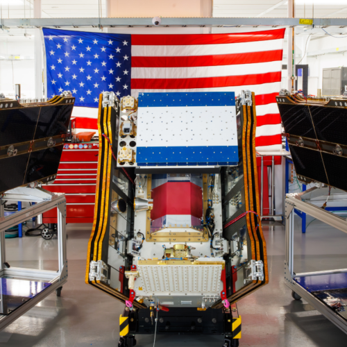
The first three operational satellites in Google-backed FireSat programme launched successfully on 7 July 2026, coinciding with heavy smoke from wildfires spreading across Canada and the United States. Managed by the nonprofit Earth Fire Alliance, the constellation is the first satellite system purpose-built for wildfire detection and will begin actively supplying data to fire agencies after a three-month testing period, covering fire-prone regions worldwide at least twice daily.
The microsatellites, built by Muon Space and launched via a SpaceX Falcon 9 from Vandenberg Space Force Base, use multispectral imaging to detect fires as small as five by five metres through smoke and cloud, a capability proven by an earlier test satellite. Early adopters including agencies in California, Colorado, Australia and Portugal will use the data this year, with full global hourly coverage planned by 2029 and 20-minute revisits once more than 50 satellites are deployed by the early 2030s; the Earth Fire Alliance projects this could save over $1 billion in damage and protect 3,500 homes. However, critics note the irony that the AI systems Google plans to pair with FireSat data rely on power-hungry data centres increasingly fed by new gas plants, which could emit over 129 million tons of greenhouse gases annually.
- FireSat's first three operational satellites launched on 7 July 2026
- System can detect fires as small as five by five metres
- Full 50+ satellite constellation expected to give 20-minute global coverage by early 2030s