World news and discussion on TalkFuse.
High pressure brings Britain a week of mist, fog and drizzle
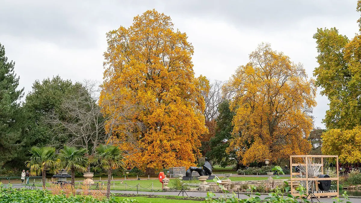
A high-pressure system has brought Britain a week of grey skies, mist, fog and drizzle, a pattern known as “anticyclonic gloom”. It matters because the still air and low cloud can keep conditions dull for days, despite the association between high pressure and sunny weather in summer.
Forecasts suggest the murky conditions will persist across much of the country until at least next Tuesday. London is expected to reach 10C or 11C by day and 7C to 8C overnight, while Birmingham is forecast to reach 8C to 11C, with lows of 5C to 6C. Similar conditions lasted more than ten days in November 2024, before storms Bert and Conall brought a sharp change.
In short
- High pressure is keeping Britain grey, misty and damp.
- Murky conditions may last until at least next Tuesday.
- Similar gloom in November 2024 lasted more than ten days.
Explained simply
High pressure is an area where air sinks and winds are often light. In summer, it can bring settled, sunny weather, but in cooler months it may leave low cloud and moisture near the ground.
This pattern is known as anticyclonic gloom. Mist and fog can reduce visibility, while drizzle and grey skies may persist when there is little wind to clear them. The conditions can affect travel and make daytime temperatures feel subdued.
Britain has experienced similar spells before, including one lasting more than ten days in November 2024. The key factors are the season, the amount of moisture in the air and whether winds or a change in weather system disperse the low cloud.
Read the full article at the source →
Originally published by Daily Mail as “Anticyclonic gloom is back! Weather phenomenon that covered Britain with grey skies returns as country faces week of mist, fog and drizzle”.