Science news and discussion on TalkFuse.
As seas rise, Singapore is reshaping its coastline to protect its future
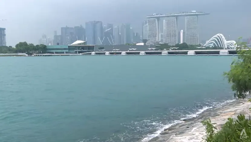
Singapore is redesigning parts of its coastline to reduce the risk of flooding as sea levels rise. The plans build on the country’s longstanding use of land reclamation and large engineering projects, with homes, ports, the financial district and other infrastructure potentially exposed.
Sea levels around Singapore could rise by up to 1.15m by 2100, while high tides and storm surges could bring water levels to 5m above today’s average; about a third of the country lies less than 5m above mean sea level. Existing measures include Marina Barrage, which provides water storage and flood control, and a 10km dike around the 800ha Pulau Tekong polder, built with nearly 50 per cent less sand than conventional reclamation. A proposed Long Island off East Coast Park could add land, a freshwater reservoir and up to 20km of waterfront parks.
In short
- Singapore is reshaping its coastline to manage future flood risks.
- Sea levels could rise by 1.15m by 2100.
- Long Island could combine land, water storage and parks.
Climate Entertainment Science TV World