European Union grants US request to restrict satellite images of Iran War region
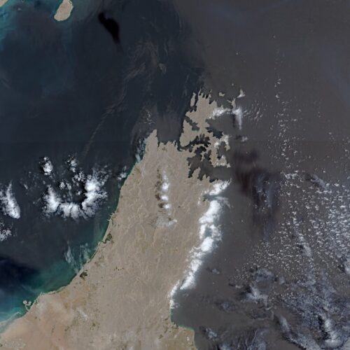
The European Union has agreed to delay publication of certain Copernicus satellite images of shipping routes near the Strait of Hormuz by 24 hours, following a US request. The measure affects timely public scrutiny of the Iran war, as journalists and open-source investigators have relied on the free imagery to assess damage and military activity while official information has become more limited.
The restriction covers Sentinel-1 and Sentinel-2 imagery of the Gulf of Oman, including routes to and from the Strait of Hormuz, and was approved by the Council of the EU on 13 July after a US request made on 26 May. It comes amid renewed US strikes after a ceasefire collapsed on 8 July; commercial US providers have imposed broader restrictions. The conflict has reportedly killed thousands, disrupted a major energy-shipping corridor, cost the US more than $37 billion, and prompted a further $70 billion funding request.
- EU delays Hormuz-region satellite images by 24 hours.
- US request limits timely independent war monitoring.
- Conflict has disrupted shipping and increased US costs.