Gales and heavy rain to impact UK as yellow wind warning issued
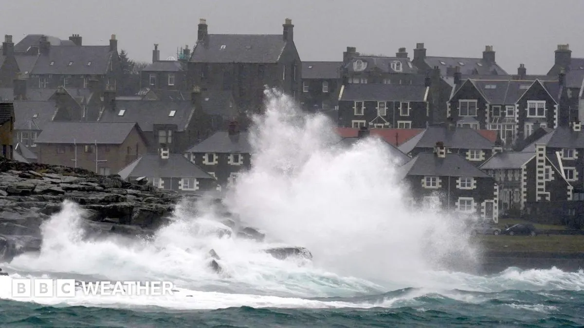
The remnants of Hurricane Isaias are helping to form a powerful Atlantic low-pressure system, bringing gales and heavy rain to parts of the UK this week. Its centre and strongest impacts are expected to pass hundreds of miles away, but north-west Scotland faces the main wind risk while much of England and Wales should stay dry and sunny at first.
A Met Office yellow wind warning covers parts of the Highlands and Western Isles on Wednesday from 10:00 to 19:00 BST, with gusts of 50-60mph likely and up to 70mph possible on exposed coasts and hills. Rain is forecast for Scotland and Northern Ireland, while warm south-westerly winds could lift temperatures 2-4C above the mid-October average, reaching 22C in East Anglia on Thursday. Cooler, more seasonal conditions are expected to spread south later in the week.
- North-west Scotland faces a yellow wind warning on Wednesday.
- Gusts could reach 70mph in exposed areas.
- Warm air will give way to cooler conditions later in the week.
New here? Start with this
The Met Office is the UK’s national weather service and issues colour-coded warnings when conditions could disrupt daily life. A yellow warning means the forecast weather may cause problems, such as travel delays or difficult conditions outdoors, in the areas and times specified.
Atlantic low-pressure systems form when air pressure falls over the ocean, and can bring strong winds and rain as they move towards the UK. Their effects vary by region: exposed coasts and hills are more vulnerable to strong gusts, while other areas may have calmer or drier weather.