New weather warnings as third storm set to hit Scotland
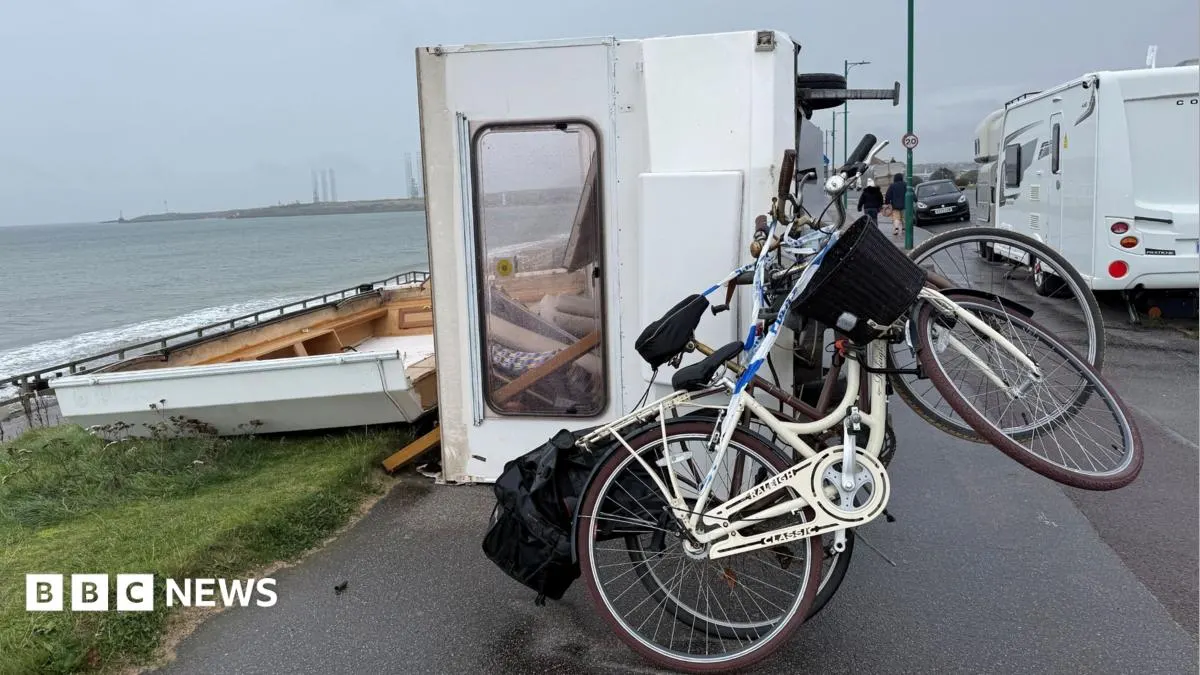
A third storm in several days is expected to bring strong winds and heavy rain to Scotland, prompting two new yellow weather warnings. The system is forecast to be less disruptive than Storm Boelo, but it arrives while thousands of homes are still without power and communities continue to deal with flooding and damage.
The warnings cover south-west Scotland from Monday evening into Tuesday morning, then much of Scotland, parts of northern England and Northern Ireland until Tuesday evening; coastal gusts could reach 65mph. About 15,000 SSEN customers remained without power, while Scottish Power said almost all affected customers would be reconnected by 02:00 on Tuesday. Flood risks, school closures and travel disruption also continued, including rail speed restrictions and possible ferry cancellations.
In short
- A third storm is forecast to bring winds and rain to Scotland.
- Coastal gusts could reach 65mph.
- Thousands remain without power after Storm Boelo.
Explained simply
Storms bring low-pressure systems that can produce strong winds and heavy rain. Scotland’s exposed coasts and upland areas can face particularly strong gusts, while prolonged rain can raise river levels and increase flood risk.
The Met Office issues weather warnings when conditions could affect people, travel or property; yellow means impacts are possible and people should keep up to date. Electricity network companies such as SSEN and Scottish Power repair damaged lines and reconnect customers after outages, while councils and transport operators manage local flooding, closures and disruption.
When another storm arrives before earlier damage has been cleared, repair crews and emergency services may still be dealing with outages and floods. That can prolong disruption to homes, schools, roads, railways and ferry services.