Business news and discussion on TalkFuse.
Storm Boelo clears but more wind and rain bears down on UK
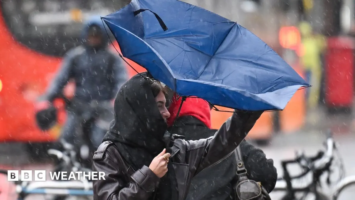
Storm Boelo is moving away from the UK, bringing a brief lull after a weekend of heavy rain and severe gales. Another Atlantic low is forecast to bring further rain and strong winds to north-western areas on Monday and Tuesday, though it is expected to cause less widespread disruption than Boelo.
Rain will spread from south-west England, Wales and Northern Ireland across much of the country on Monday, then clear from the south-west. Gusts may reach 30 to 40mph widely, 50mph on many coasts and 70 to 85mph in the Hebrides; yellow wind warnings cover parts of Scotland, Northern Ireland, Wales and western England. Local flooding, coastal flooding and travel disruption are possible, while high pressure should bring calmer, drier weather later in the week.
In short
- Storm Boelo is clearing the UK.
- Another low brings rain and strong winds on Monday and Tuesday.
- High pressure should bring calmer weather later in the week.
Explained simply
Atlantic lows are areas of low air pressure that can bring unsettled weather to the UK as they move in from the ocean. Strong winds and rain are common, and conditions can vary across the country depending on the storm’s path.
The Met Office issues weather warnings when expected conditions could cause disruption or pose a risk to people and property. Heavy rain can lead to flooding, while strong winds can affect travel, especially on exposed roads, rail routes and ferry crossings.
Business Markets Science UK World