Storm Boelo to bring severe gales and heavy rain into Sunday
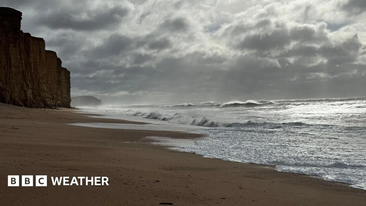
Storm Boelo is forecast to bring severe winds and heavy rain to the UK from Saturday, with the strongest conditions expected in the north. The warnings signal possible travel disruption, power cuts and localised flooding, following Storm Austen’s damage just a day earlier.
The Met Office’s amber wind warnings cover much of Scotland and parts of northern England from 21:00 BST on Saturday until 21:00 BST on Sunday, and parts of Northern Ireland until 10:00 BST on Sunday. Exposed locations could see gusts of up to 80mph; Storm Austen brought gusts above 75mph, and engineers had restored power to more than 60,000 properties by Saturday morning, though hundreds remained without electricity. Rain is expected to ease across most areas on Sunday, but another low-pressure system could bring further wet and windy weather on Monday and Tuesday.
In short
- Storm Boelo could bring gusts of up to 80mph.
- Amber wind warnings cover parts of Scotland, England and Northern Ireland.
- Another spell of wet and windy weather may arrive early next week.
Explained simply
UK weather warnings are issued by the Met Office, which monitors conditions that could affect people, property and travel. Amber warnings mean severe weather is possible and people should prepare for disruption; they do not mean the same conditions will occur everywhere.
Storm Boelo is part of a run of low-pressure systems bringing unsettled weather to the UK. Strong winds can damage buildings and trees, while heavy rain can cause flooding and make roads and rail journeys harder.
The recent storm Austen caused power cuts, and repair crews were still restoring electricity to some homes. The risk of further disruption matters especially to people in exposed areas and those relying on travel or electricity.