Technology news and discussion on TalkFuse.
Google Maps flags routes through European low-emission zones
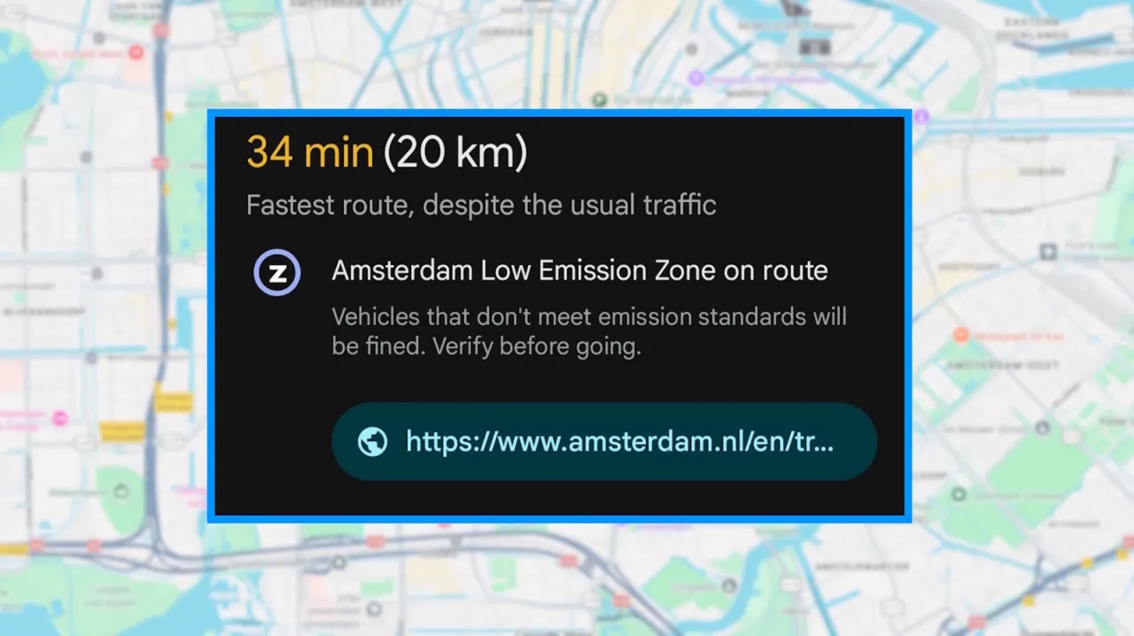
Google Maps uses a circled “Z” to warn drivers that a planned route passes through a low-emission zone (LEZ). The alert matters because drivers whose vehicles fail to meet local rules may face a fine.
The zones, often in city centres, can restrict older or more polluting cars, charge them or require an emissions sticker; rules vary by city. Google began showing these alerts in 2021 and said in 2025 they would expand to more than 1,000 low-emission and low-traffic zones across Europe. Maps does not know a car’s emissions class, so drivers should check the linked city guidance or consider another route.
In short
- The circled “Z” flags a low-emission zone on your route.
- Local rules can restrict vehicles or lead to fines.
- Check the city’s guidance; Maps cannot assess your car.
Read the full article at the source →
Originally published by Engadget as “What the circled “Z” on Google Maps means”.