Europe’s free satellite service just made it easier to track wildfires
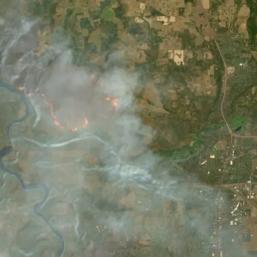
The EU’s free Copernicus Browser has added a default wildfire visualisation layer for Sentinel-2 satellite imagery, making higher-resolution fire tracking easier for the public. The update matters because it removes the need for users to manually add a specialist script and can help people distinguish active fires, burning vegetation and burned ground.
The layer went live on 4 August and is based on a JavaScript script by remote-sensing expert Pierre Markuse. It displays active fires in white or yellow, burning vegetation in red, and burned areas in dark brown or black; Sentinel-2 can provide imagery at up to 10-metre resolution every few days, compared with NASA’s more rapidly updated FIRMS fire map, whose imagery can reach 250-metre resolution.
- Copernicus Browser now includes an easy wildfire-viewing layer.
- Sentinel-2 offers publicly available imagery down to 10-metre resolution.
- The update arrives amid severe wildfire seasons worldwide.