More wet and windy weather to follow stormy weekend
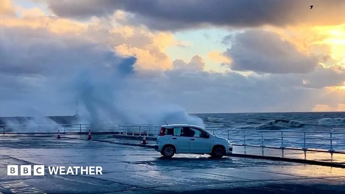
Storm Boelo is continuing to bring strong winds and heavy rain to parts of the UK, with another unsettled spell forecast for Monday and Tuesday. The rapid succession of storms has caused disruption and could make travel difficult again, although conditions may become calmer later in the week.
The amber wind warning for Boelo covers much of Scotland and parts of northern England until Sunday evening; a warning for Northern Ireland expired on Sunday morning. Gusts could reach 80mph in exposed areas, while the next low-pressure system may bring persistent rain and strong winds, especially in northern areas. Its strength and track remain uncertain, as does whether it will be named; high pressure could bring drier, calmer weather later in the week.
In short
- Storm Boelo continues to affect Scotland and northern England.
- Another spell of rain and strong winds is forecast into Tuesday.
- High pressure may bring calmer weather later in the week.
Explained simply
The UK’s weather is often shaped by Atlantic low-pressure systems, which can bring rain and strong winds as they move across the country. The Met Office issues warnings when conditions may affect people, travel or property; an amber warning signals a risk of significant disruption.
Storms are named when they are expected to have a notable impact, and their paths can affect which areas see the worst weather. Strong gusts can disrupt road, rail and ferry services, while prolonged rain can lead to flooding, so forecasts matter to people planning journeys and outdoor activities.
Art Celebrity Culture Entertainment Science TV